This year’s Catskill Environmental Research and Monitoring Conference offers two field trip opportunities. Field trips allow researchers and managers to dialogue with each other across disciplines about potential research collaborations. The field trips below feature exchanges with investigators and managers of applied research in the Catskills.
Trip 1: Old Growth Forest Stands in the Catskills*
Friday, October 28 from 10:30 AM – 4:30 PM – REGISTRATION CLOSED
Old Growth Field Trip Itinerary
Guide to Old Growth Forest Field Trip
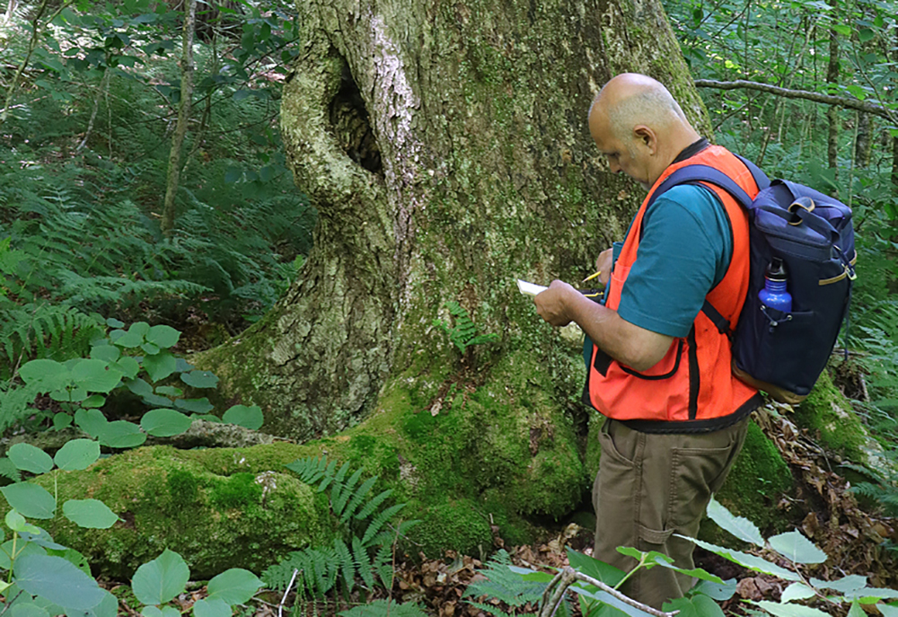
This 6-hour hike stops at three separate old growth forest stands within the Big Indian Wilderness Unit of the Catskill Forest Preserve. At the first stop, in the Hemlock Mountain stand, there will be a short dedication ceremony to induct the tract into the Old-Growth Forest Network.
Stop 1: Hemlock Mtn Old-Growth Stand
Old growth stand in northern hardwood forest with yellow birch and sugar maple dominant. Limited development of old growth epiphytes. Dedication ceremony at this stop.
Stop 2: Lower Biscuit Brook Old Growth Stand
Old growth stand in rich mesic variant of northern hardwood forest with white ash, sugar maple and basswood dominant. Old growth epiphytes absent or only weakly developed.
Stop 3: Upper Biscuit Brook Old Growth Stand
Old growth stand in northern hardwood forest with yellow birch and sugar maple dominant. Largest trees up to 4 feet in diameter. Full development of old growth epiphytes.

The Big Indian Wilderness is a tract of 33,860 acres protected and managed by the Department of Environmental Conservation (DEC) as part of New York State’s Catskill Forest Preserve. Based on mapping by forest historian Michael Kudish, 22,280 acres (66%) are “first growth” or primary forest that has not been altered by human activities including logging, bark-peeling, agriculture, burning, charcoal making or mining of mineral resources.
Although the “first growth” forest is extensive within this tract, stands that can be properly described as “old growth” are limited to areas below the 3,000-foot elevation, which are sheltered from the most severe climatic conditions and where growing conditions including soil depth, drainage, moisture availability and nutrient status are optimum. Forest stands with large diameter trees of old growth form, characteristic epiphytes and generally high biodiversity have been documented at several locations within the management unit. These include a stand on the southwest-facing slope of Hemlock Mt (Stop 1), and two stands (Stops 2 and 3), along the lower and upper reaches of Biscuit Brook.
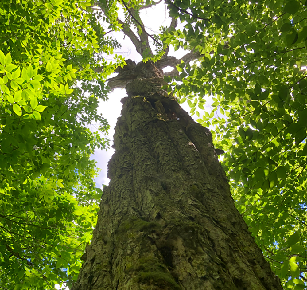
All three stops feature mixed-age stands of northern hardwood forest with a significant number of large trees (DBH > 30-inches) that are at or approaching the maximum size for the species and large downed and/or dead trees. Large trees exhibit classic old growth form including low stem taper, twisted stems, and reduced crowns with few short heavy limbs. Epiphytic lichens, mosses and liverworts which are indicators of old growth are best displayed at the upper Biscuit Brook stand.
Level of Difficulty: Hike to the dedication ceremony site is of moderate difficulty due to lack of a trail, talus boulders, and stream crossings. The remainder of the hike ranges from easy trail use to moderate difficulty on a marked trail with 700 feet of elevation changes over 2.5 miles. Total 5 miles round-trip.
Parking: Carpooling available from the Full Moon Resort conference site. The trip begins at the Slide Mountain Trailhead parking area, County Route 47 (Oliverea Road), Big Indian, NY where a short hike will lead to Stop 1. After an old growth forest stand dedication ceremony, the trip proceeds to the Biscuit Brook Parking Area on County Route 47 (Frost Valley Rd), Claryville, NY where the trail leads to Stops 2 and 3. Participants may turn around after Stop 2. Carpooling will be available for return to Full Moon Resort.
Trip Leaders: Steve Parisio, John Franklin, Mike Kudish, and Neil Pedersen. Joan Maloof and the Old Growth Forest Network will lead the Big Indian Wilderness Unit dedication.
Safety considerations: Stop 3 required fording Biscuit Brook. Where waterproof foot gear with protection above the ankle if possible. Please wear appropriate clothing for variable mountain weather. Trip will be held in light precipitation. Cell coverage is unreliable.
*Note: Demonstration sites are still being evaluated by trip leaders and may be revised. Updates will be published as soon as they are available.

Trip 2: River Restoration and Research
Friday, October 28 from 10:30 AM – 4:30 PM – Registration Closed
River Restoration and Research Itinerary
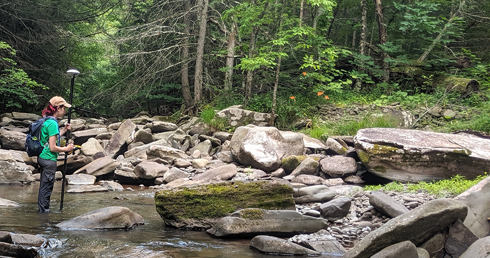
This 6-hour field tour will take participants to several river monitoring and restoration sites on the West Branch of the Neversink River, where the USGS operates the innovative Next Generation Water Observing System (NGWOS) and to the upper Esopus Creek watershed where fisheries, habitat studies, and suspended sediment monitoring are being used to evaluate stream restoration. Environmental assessment is applied to stream restoration in both river systems.
The Neversink River is a monitoring area within the USGS-NGWOS program, where innovative methods for monitoring streamflow, groundwater, air/water temperature, operations, and gear are being tested. Next generation instrumentation is in use at the Main Branch Neversink River and sites throughout the upper watershed to test protocols for monitoring and modeling dozens of water quality variables, temperature, and discharge. These collected data present an opportunity for inter-disciplinary collaboration focused on water resource management.
Several long-term monitoring studies in the Neversink River and upper Esopus Creek watersheds characterize fish assemblages to evaluate the effects of channel restoration on the health of local fisheries, stream temperatures, and trout habitat. A pilot application of temperature monitoring and a novel Salmonid Habitat Index is being assessed in the upper Esopus Creek watershed. The results are meant to inform future stream restoration designs.
Specific examples of how USGS data are collected and applied to stream restoration are found in the Neversink River and Esopus Creek systems. Hydraulic geometry curves partly derived from USGS-generated data were used to design stream restoration projects. In both systems, stream restoration requires a specific understanding of the site geology with abundant fine sediment sources, to develop methods for isolating fines to reduce turbidity.
Level of Difficulty: Minor difficulty – short walks over rough terrain to project sites.
Parking: Carpooling available from the Frost Valley YMCA for Stops 1-3. Personal vehicles will be driven to Stop 4. Pull offs will be used for parking adjacent to project sites.
Trip Leaders: Barry Baldigo, Mark Vian, Adam Doan, Jason Siemion with guest presenters Allison Lent, Scott George, Brendan Wagner, and Chris Gazoorian.
Safety considerations: Please wear appropriate footwear and clothing for variable mountain weather. Trip will be held in light precipitation. Cell coverage is unreliable.
